Cloudland Canyon State Park, Rising Fawn GA
|
LOCATION:
122 Cloudland Canyon Pk Rd Rising Fawn, GA. 30738 PHONE: 706-657-4050 Reserve: 800-864-7275 RATES: $26 - $36 Not site-specific CHECK IN/OUT: Check in at 1 pm/Check out at 1 pm. ACCESS: 7 am - 10 pm. MAPS: At Visitor Center SITES: 72 RV sites Cottages - 16 Yurts - 10 Walk-In Tent - 30 Backcountry Tent - 11 PULL THRUS: Yes WATERFRONT: No PICNIC SHELTERS: Yes SITE SURFACE: Gravel HOOK-UPS: Water & 30/50 Amp WIFI: No CABLE: No SEWER: No BATH: Yes LAUNDRY: Yes DUMP STATION: Yes SHADE TREES: Yes POOL: No BOAT RAMP: No FEATURES: 64 miles of trails, Horseback riding, Disc golf, Cave tours, and Mountain climbs RANKING: 8.5 PET FRIENDLY: Yes NEARBY ATTRACTIONS G3 Adventures Lookout Mt Hang Gliding |
Cloudland Canyon State Park is located on the western edge of Lookout Mountain. This park is one of the largest and most scenic parks in Georgia. It was once known as Sitton Gulch and was purchased in stages by the state of Georgia beginning in 1938. The Civilian Conservation Corps under President Franklin D. Roosevelt built the first facilities and signs in the park. In 1939 Cloudland Canyon was designated a state park and began acquiring land from private owners.
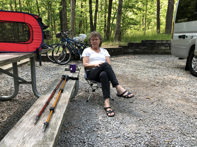
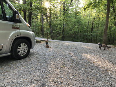
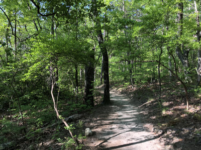
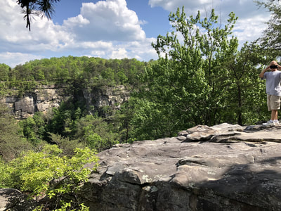
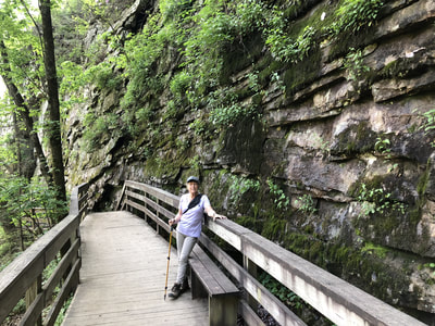
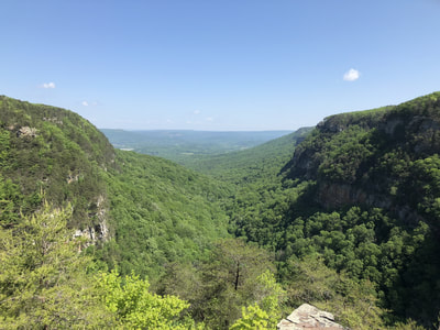
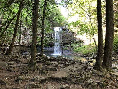
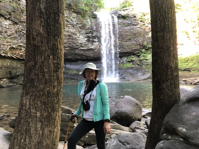
There are two beautiful waterfalls here known as Cherokee Falls and Hemlock Falls. The Waterfalls Trail leads you to both falls, descending stairs for 1 mile into the canyon. About half way down the stairs, turn left to Cherokee Falls or continue down the stairs to view Hemlock Falls. The West Rim Loop Trail offers spectacular views of the canyon and can be reached from the West Rim Campground. The West Rim Campground offers shady camp sites and the East Rim Campground offers a more open area closer to the waterfall trails. It's about a mile from the West Rim Campground to the waterfall trails. We camped a week in May 2018 in the West Rim Campground looking out at the woods. We hiked around the West Rim and to the falls. The road to the campground is a little steep and there are a few tight turns inside the campground. DIRECTIONS: GA Route 136, 8 miles east of Trenton and I-59 (exit #11) and 18 miles west of LaFayette (20 miles from Chattanooga TN) GPS N 34.817676 | W 085.488366 |
HTML Comment Box is loading comments...
