Croft State Park, Spartanburg, SC
|
LOCATION:
450 Croft State Park Road Spartanburg, SC 29302 PHONE: 864-585-1283 Reserve: 866-345-7275 RATES: $18 - $21 - will honor senior discount Equestrian stable: $9-10.50 per stall per night CHECK IN/OUT: Check out at 12 noon ACCESS: 7 am - 9 pm. MAPS: At Entry Gate SITES: 50 camping; 51 horse stalls; primitive camping PULL THRUS: Yes WATERFRONT: Yes PICNIC SHELTERS: Yes SITE SURFACE: Dirt HOOK-UPS: Water & 30/50 Amp WIFI: No CABLE: No SEWER: No BATH/LAUNDRY: Yes DUMP STATION: Yes SHADE TREES: Yes POOL: No BOAT RAMP: Yes FEATURES: 17 miles of Equestrian Trails 16 miles of Mt Bike Trails 10 miles Multi-Use Trails Nice lake for fishing with boats, canoes and Kayaks for rent Horse show ring Shooting range Geocaching RANKING: 8 - only because no wifi or sewer PET FRIENDLY: Yes NEARBY ATTRACTIONS Greenville Co Museum of Art Spartanburg Science Center |
This park was once a farming community and old farmsteads can still be found throughout the area. There is still the foundation of a 4-story hotel and evidence of a bottling business.
Training facilities were needed during World War II and troops began training in this area in March of 1941. The camp was known as Camp Croft and eventually housed 250,000 soldiers. This facility was shut down after the war and opened as a State Park in 1949. We camped here in June 2015 on our way to New Jersey. There are two campground loops one of which is lake side. The lake side sites are rather small and close together so we chose the more wooded sites on the other side and were very pleased even though we only had 30 amp on that side. The camp host was very accommodating and friendly. The sites and road are all dirt including the dump site. The rest rooms are heated and well maintained. Phone service was fair and we received a few tv channels via our antenna. We enjoyed the trails and the horses and would stay here again. Lake Tom Moore Craig is a 165-acre watershed located within the park and great for fishing. The lake allows only electric motors . The equestrian facilities include a stable with rental stalls, a show ring and many miles of equestrian trails. We enjoyed watching the horses in the practice ring. Remember when hiking to always yield to horses. There are several great trails inside the park but we only hiked the shorter 1.5 mile Nature Trail. This trail is foot traffic only and the trailhead is on the dirt road that leads to the stables. We enjoyed seeing the remains of an old mill site and bridge crossing at the Fairforest Creek. The Foster Mill Trail is 6.5 miles and is open to equestrian and hiking. Easy hike but a long one. The Southside Loop is 9.7 miles and is open to mountain biking and hiking. This trail is moderate to strenuous due to the length and terrain. The trail can be accessed either by crossing the "Advanced America" bridge on the Palmetto Trail or from the Southside Parking lot at the end of Groce Road. The longest trail is the Palmetto Trail and is 12.6 miles and open to hiking, mountain biking and equestrian. This trail connects the city of Spartanburg to the Glenn Springs area in southern Spartanburg County. The trail crosses Fairforest Creek with a 65-foot long "Advance America" expansion bridge. This is the longest foot bridge in the SC State Park Service. There are interesting remains of old homesteads along the trail. DIRECTIONS: Located five miles southeast of Spartanburg off SC 56 on Dairy Ridge Road.
From I-26: take exit 22 and travel east on Hw. 296 for approx 1 mile. Turn onto Hwy 295 until it intersects with Hwy 56. Turn right onto Hwy 56, then take a left at Dairy Ridge Road and follow park signs. GPS Info. 34.88111, -81.87028 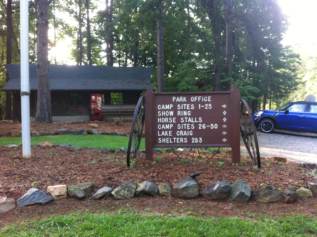  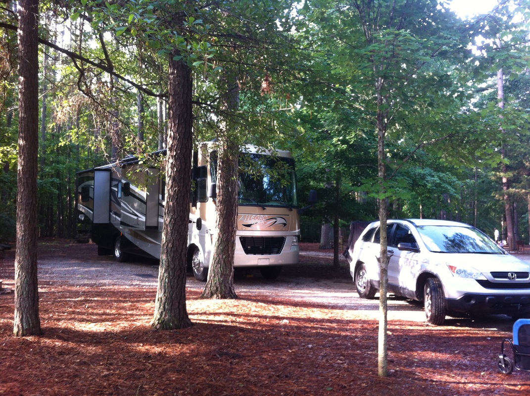 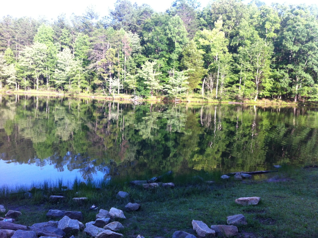 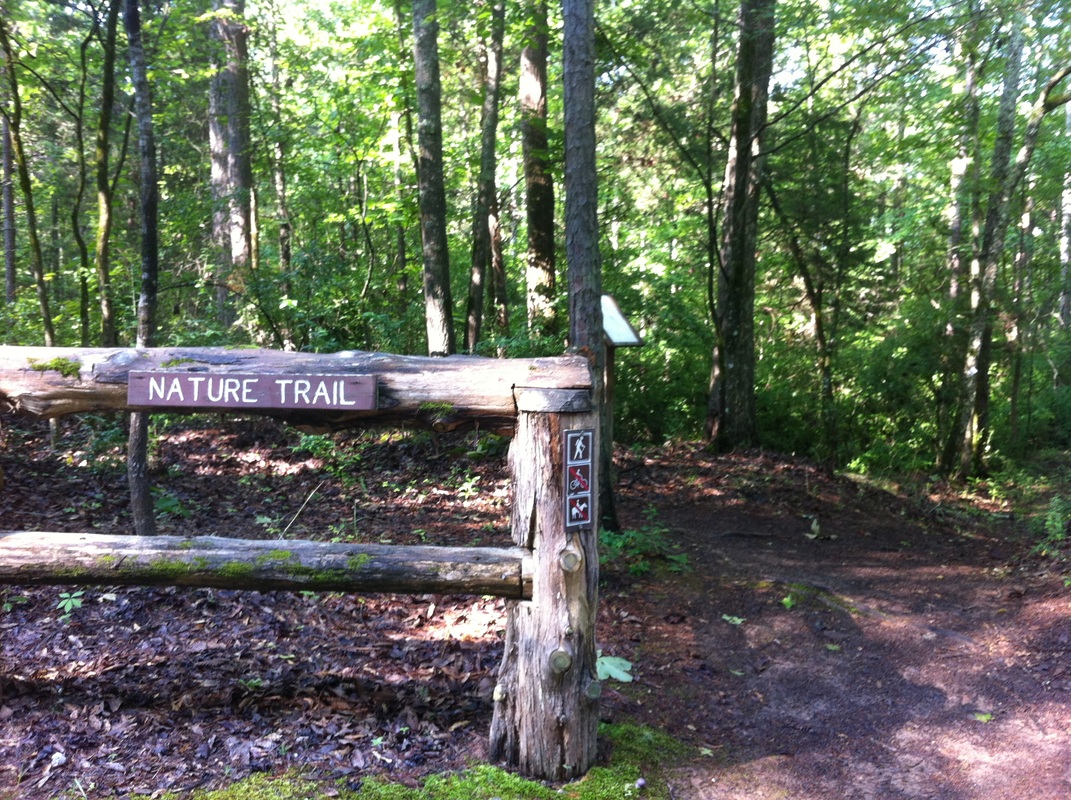 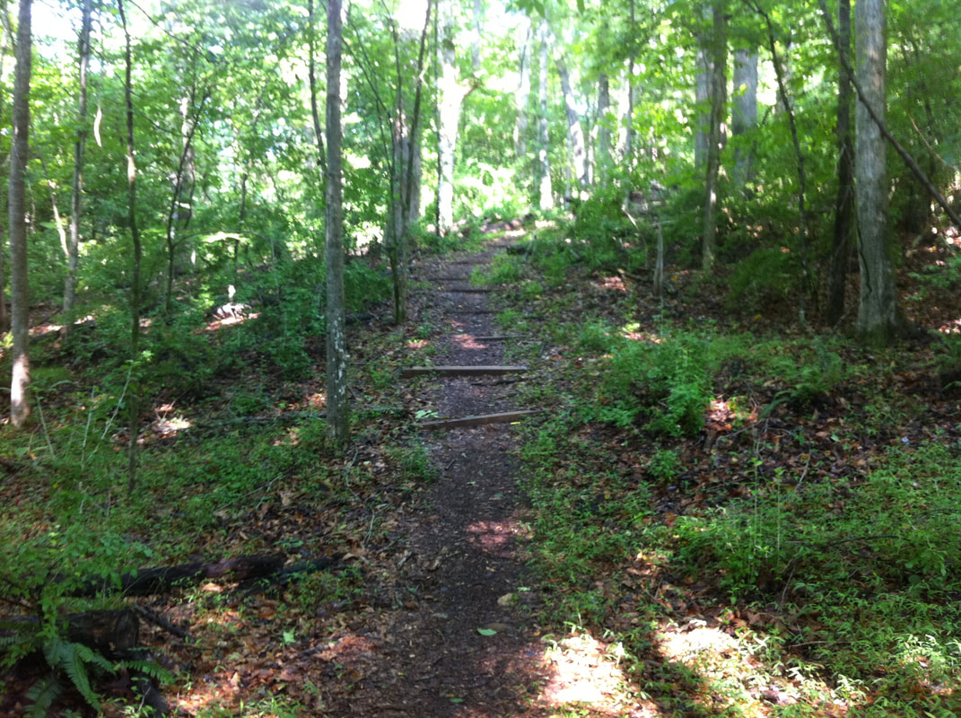 |
HTML Comment Box is loading comments...
