DeSoto Falls Recreation Area, Blairsville, GA
Lower Falls Trail and Upper Falls Trail
|
LOCATION:
18365 US Hwy 129 Cleveland, GA 30528 PHONE: 706-745-6928 Reserve: First Come RATES: $12 (will honor America the Beautiful Pass ($6). Nov to Mar - $6 CHECK IN/OUT: Check in at 1 pm/Check out at 1 pm. ACCESS: 24 hr if camping MAPS: No SITES: 24 PULL THRUS: No WATERFRONT: No PICNIC SHELTERS: No SITE SURFACE: Gravel HOOK-UPS: None WIFI: No CABLE: No SEWER: No BATH: Yes LAUNDRY: No DUMP STATION: No SHADE TREES: Yes POOL: No BOAT RAMP: Yes FEATURES: Woods are really nice. Two short trails leading to waterfalls. RANKING: 7 due to the road noise PET FRIENDLY: Yes NEARBY ATTRACTIONS Vogel State Park |
The DeSoto Falls Recreation Area is located directly off Highway 129 and is just inside the National Forest boundary. There are two loops inside the campground and most of the sites are in the upper loop. The lower loop is where the camphost is located and there are just a few sites available.
We camped here in August 2018 in the upper loop with Frogtown Creek behind us. This is a scenic campground with no hook-up facilities. There is a bath house with an outdoor shower and a camphost on duty. There is water available throughout the campground except in winter months. It is shut off November through March. My only complaint with this gorgeous spot is the road noise coming from Highway 129. There are two short trails leading to waterfalls called the Upper Falls and Lower Falls. It's a great hike and the falls are gorgeous. Trout fishing is popular along Frogtown Creek which flows through the campground. There is a day use area just before the campground for parking to fish or hike. The hike begins by walking through a shaded area where picnic tables and grills are available. Proceed on the paved road (next to the campground) and come to a wooden bridge that crosses Frogtown Creek. The trail splits and by turning right you walk to the upper falls (1.5 miles) and turn left to the lower falls (1/2 mile). The trails can be busy on the weekend. The Lower Falls trail is little more difficult than the Upper Falls. The trails can be muddy at times. DIRECTIONS:
From Blairsville GA: Take US Hwy 19/129 sourth for 17 miles to campground entrance on right. From Dahlonega GA: Take Hwy 19 north for 18 miles to campground entrance on left. 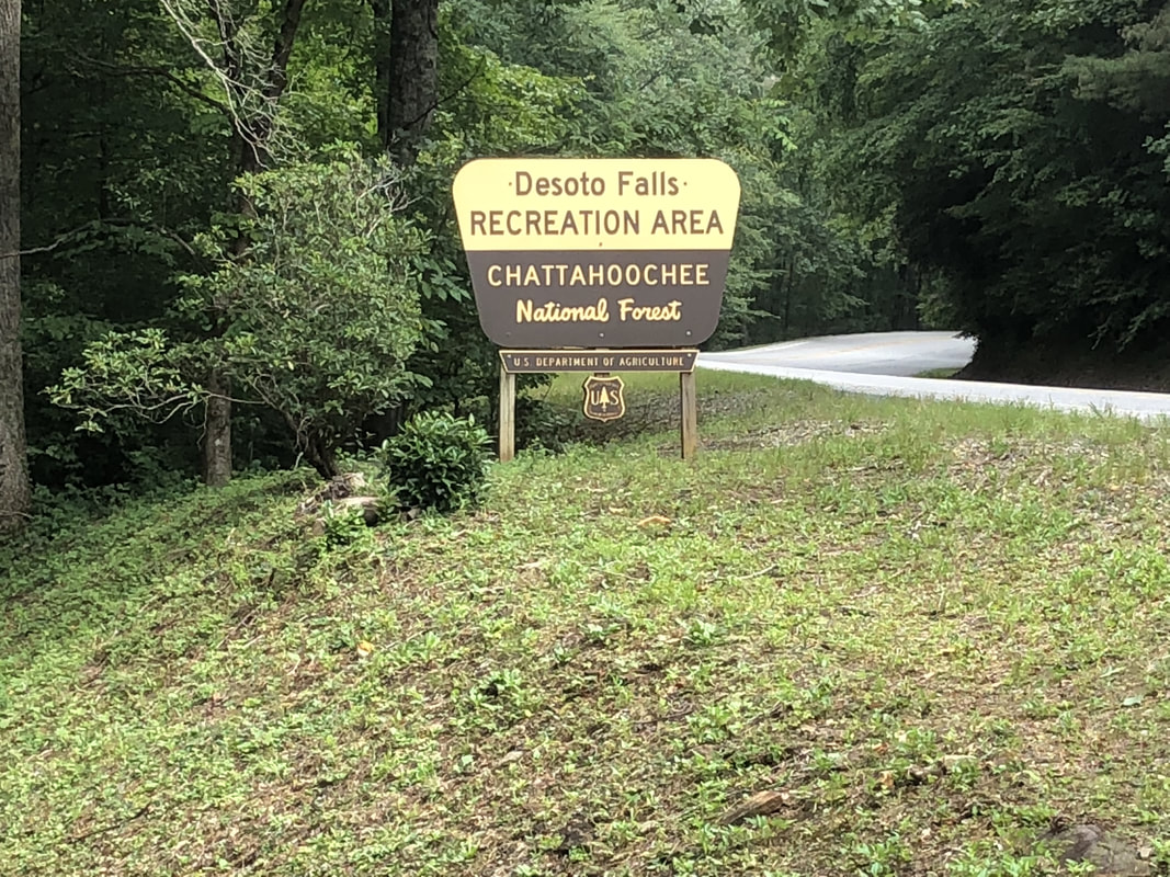 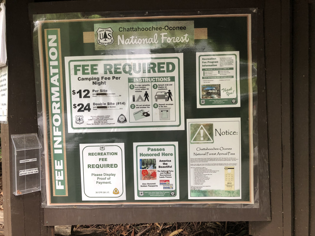 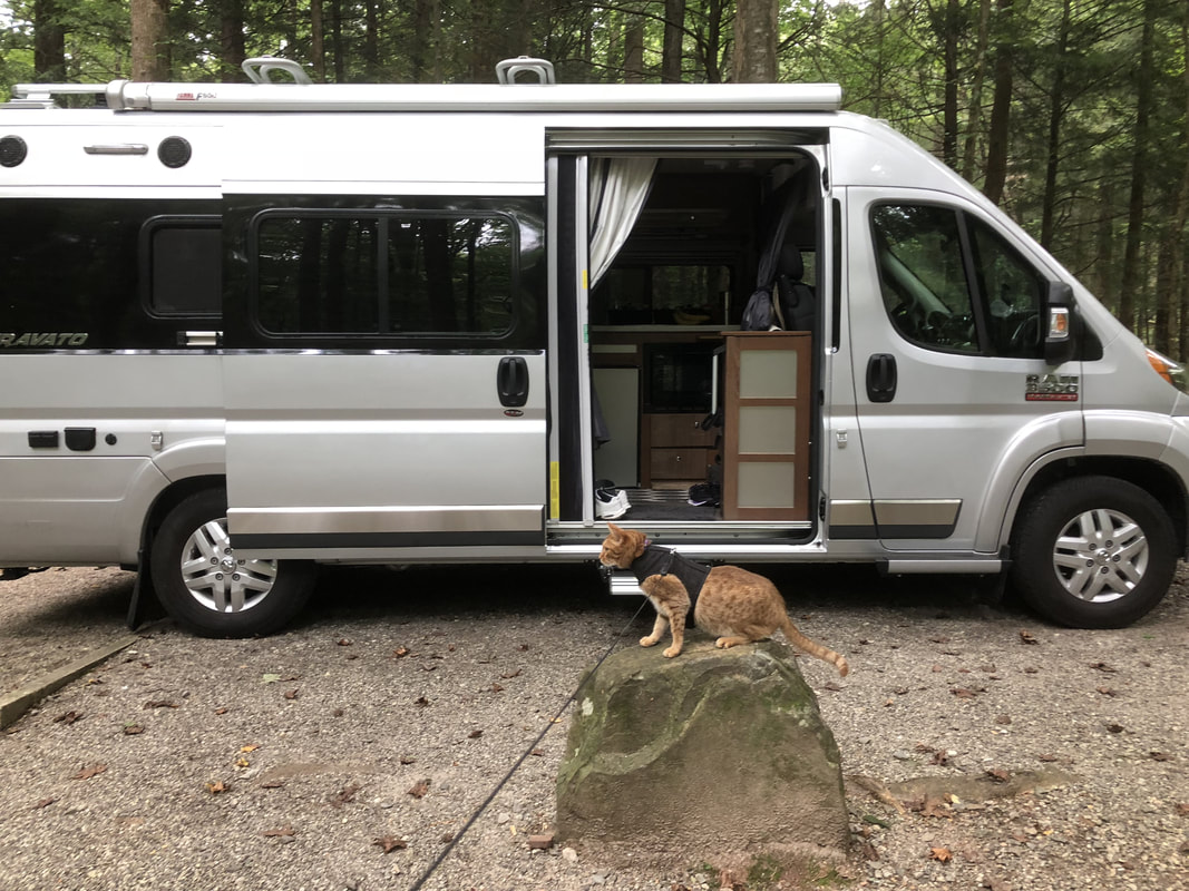 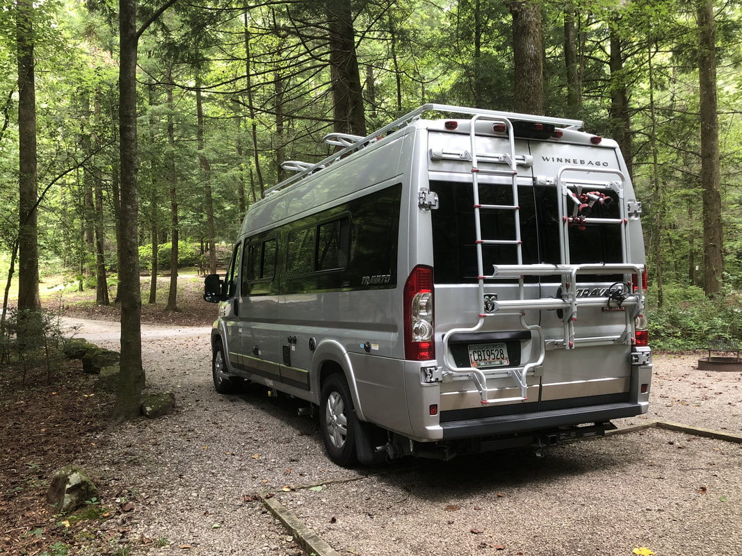 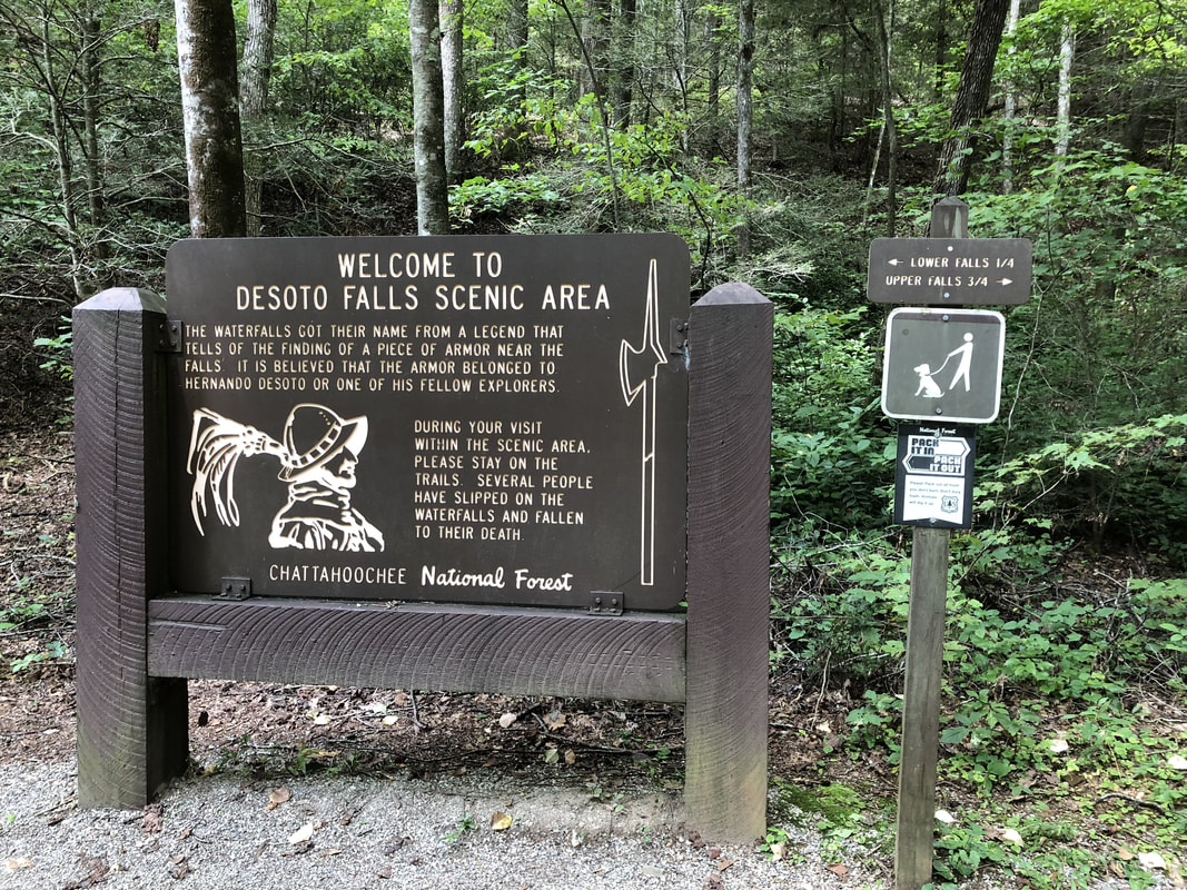 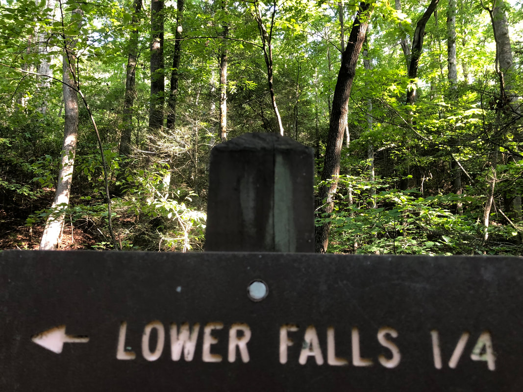  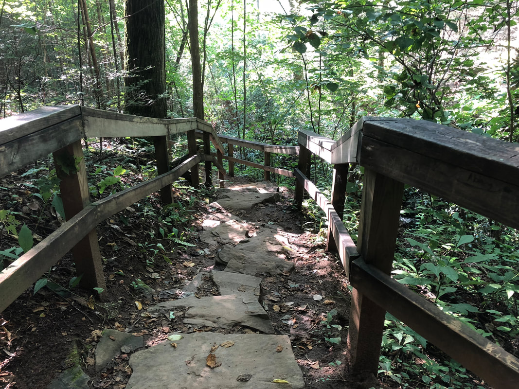 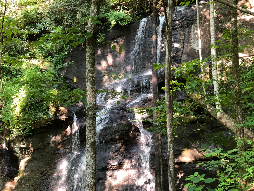 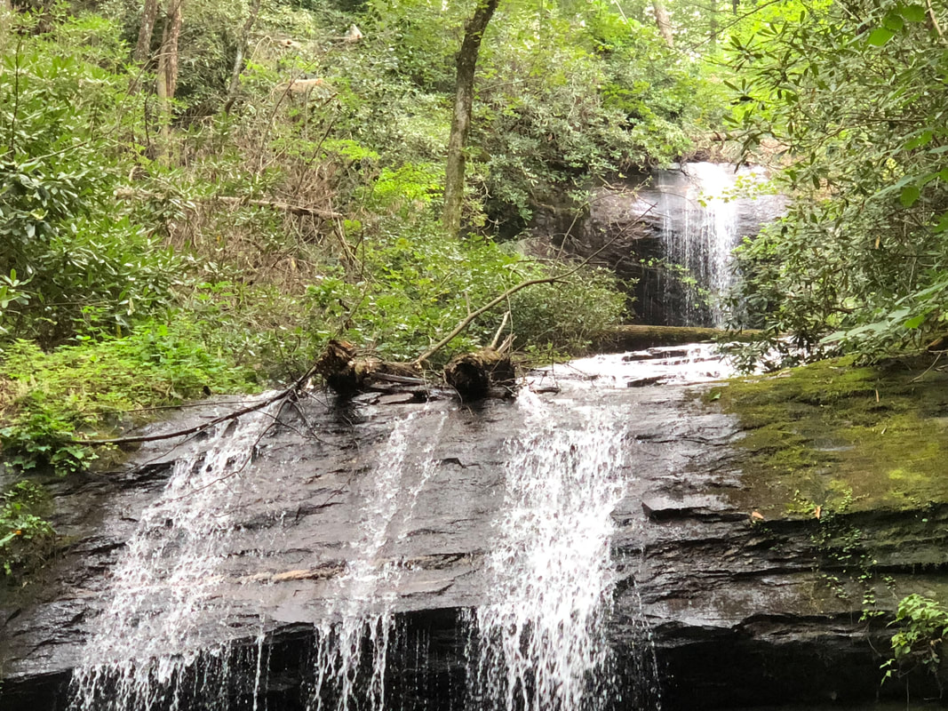  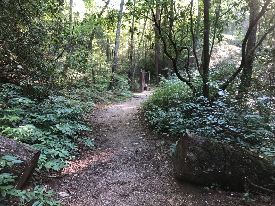  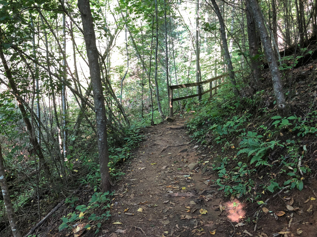 |
HTML Comment Box is loading comments...
