Don Carter State Park, Gainesville, GA
Hiking Trail Loop, Dog Creek Inner &
Outer Loop, Woodland Loop,
Terrapin Cove Trail and Huckleberry Trail
|
LOCATION:
5000 N. Browning Bridge Road Gainesville, GA 30506 PHONE: 678-450-7726 Reserve: 800-864-7275 RATES: Remember your 62 or older discount. Parking $5 unless you have the Friends of GA State Parks pass. CHECK IN/OUT: ACCESS: 7 am - 10 pm. MAPS: At Visitor Center SITES: 44 RV sites ($25-$29) 8 Cottages ($110-$160) 12 Primitive "Walk-In" ($15) 10.4 Miles of Shoreline PULL THRUS: 26 WATERFRONT: 6 PICNIC SHELTERS: yes - 4 ($45) SITE SURFACE: Paved HOOK-UPS: Water, 30/50 amp and a gray water dump (5 gal) WIFI: No CABLE: Yes SEWER: No but does have a 5 gal gray water dump BATH/LAUNDRY: Yes DUMP STATION: Yes SHADE TREES: Yes POOL: No BOAT RAMP: Yes FEATURES: Bathrooms are the cleanest I've ever seen. They actually sparkle. Nice bike riding. Fishing, Hiking, Beach, Playgrounds, Trails RANKING: 8.5 only because no WIFI and cell service is not very good. PET FRIENDLY: Yes NEARBY ATTRACTIONS Clarks Bridge Olympic Rowing Venue Elachee Nature Center Mountain Fresh Creamery |
Don Carter is Georgia's newest state park situated on the north end of the Lake Lanier reservoir. This park is named in honor of real-estate executive Don Carter who served on the Georgia Department of Natural Resources board for 29 years and worked to establish Lake Lanier's first state park.
We camped here in November 2013 and had a great pull-thru site facing the lake. It was beautiful to see the sun every morning shining over the lake and the color of the hardwoods. We loved riding our bikes around the park and meeting the camp hosts and our neighbors. This was our first camping experience in our new Columbus fifth-wheel. We really enjoyed having the electric fire place for the cold evenings. It was fun cooking in our new kitchen and stocking our cabinets. I've never had so much storage space. We only had a few mishaps and Mike writes about them in our blog. The park offers several choices for overnight stays. The two-bedroom cabins are on wooded hillsides and all face the lake. One campground is designed specifically for RV's and a primitive camping area for tents and hammocks. The campground is gated with an access key-code for safety. The Hiking Trail Loop is 5.5 miles and follows the green, yellow, white and pink blazed trails. The Dog Creek Inner and Outer Loop is 6.1 miles and is part of the equestrian trail system. It is also open to foot traffic but no bicycles. This trail is easy to moderate. The Woodland Loop is 1.5 miles, blazed green and is an asphalt trail about 6 ft wide through the woods. This trail is ADA-accessible and open to bicycles and strollers. Signs will warn of the only steep grade on this trail. There is access to "walk-in" campsites. The Terrapin Cove Trail is 1.6 miles easy red-blazed dirt trail. It provides access to the beach, visitor center, campground and cottages. This trail is for foot traffic only. The Huckleberry Trail is 1.4 miles and blazed white The surface is dirt and parking is available at the upper end of the North Boat Ramp. This trail begins as a spur, then divides to form a loop. DIRECTIONS FROM ATLANTA:
Located northeast of Gainesville, on the north of Lake Lanier. Travel I-85 N toward Greenville Merge onto I-985 N/GA-365 N via EXIT 113 on the left toward Gainesville. Take the GA-369 exit, EXIT 24, toward US-129/Jesse Jewell Pkwy/New Holland. Turn left onto Jesse Jewell Pky NE/GA-369 W. Travel 0.7 miles Turn right onto Limestone Pky NE/US-129 N/GA-11 N. Travel 1.6 miles Turn right onto Clarks Bridge Rd/GA-284. Travel 6.2 miles Turn right onto N Browning Bridge Rd. Travel 1.4 miles At the "Y" take the left fork and continue for one-half mile to the park entrance. The brown Don Carter State Park sign will be at the "Y" GPS Coordinates: N 34.3876220 | W 83.7464620 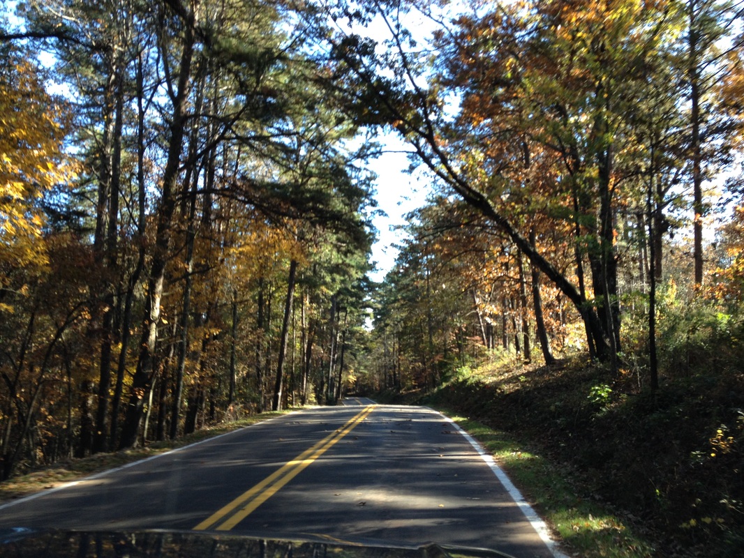 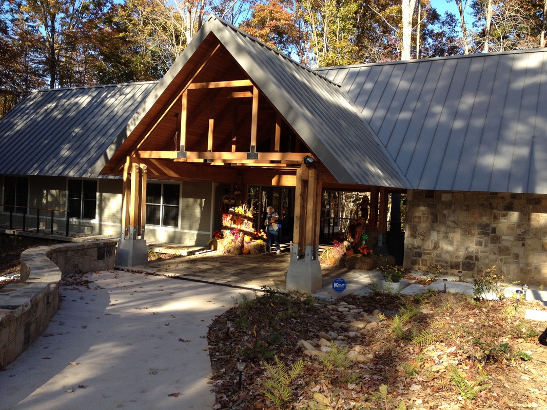 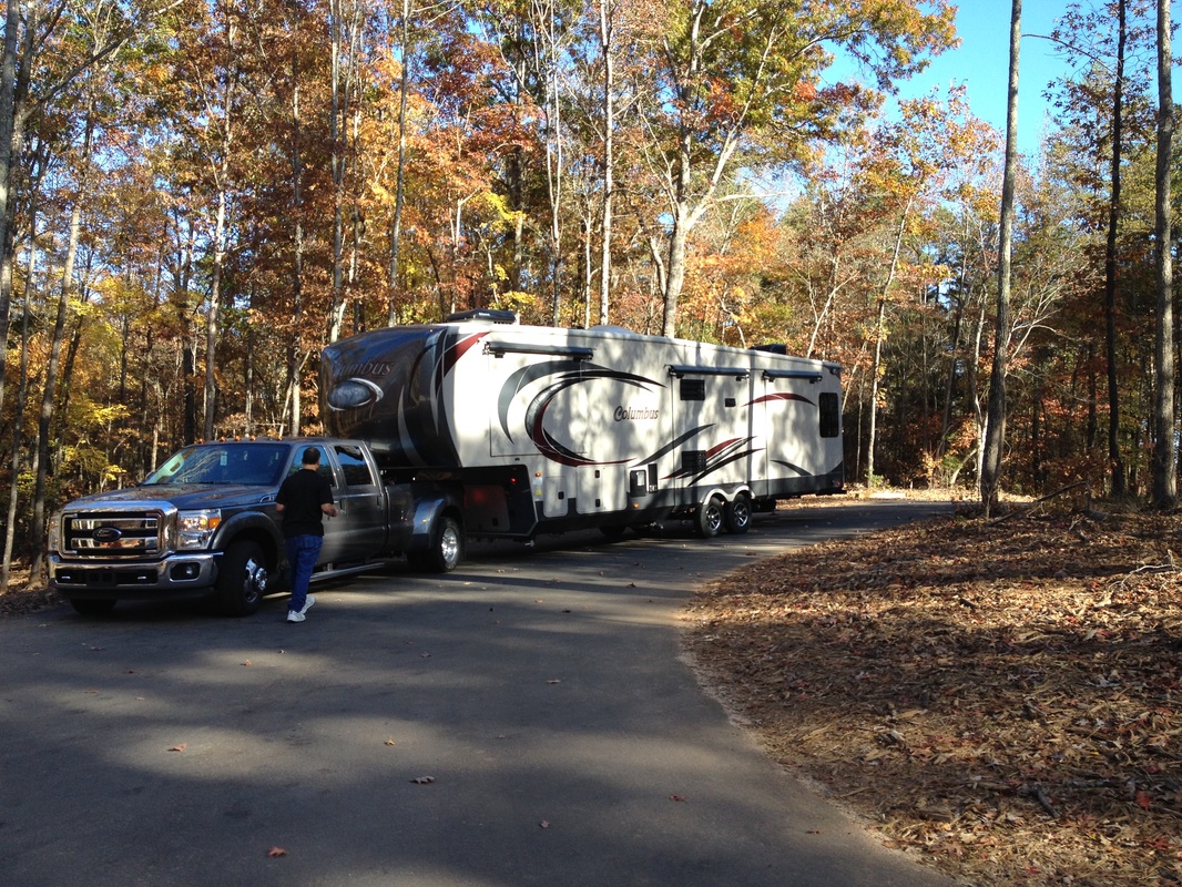 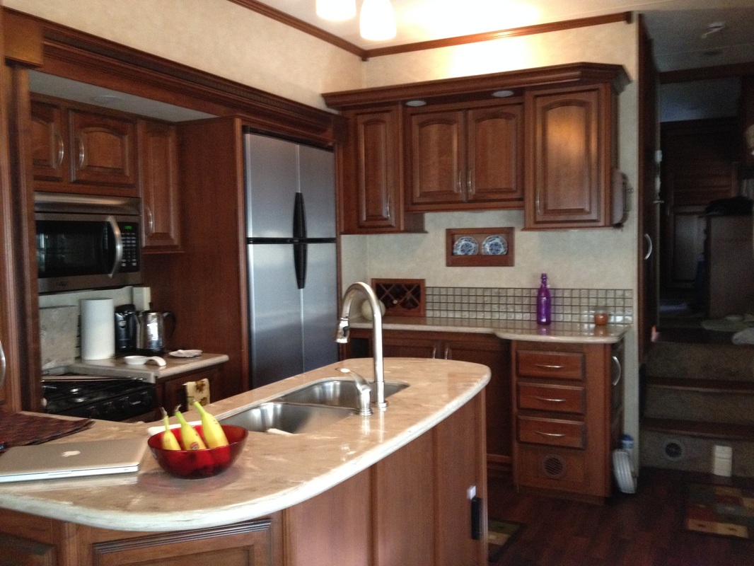 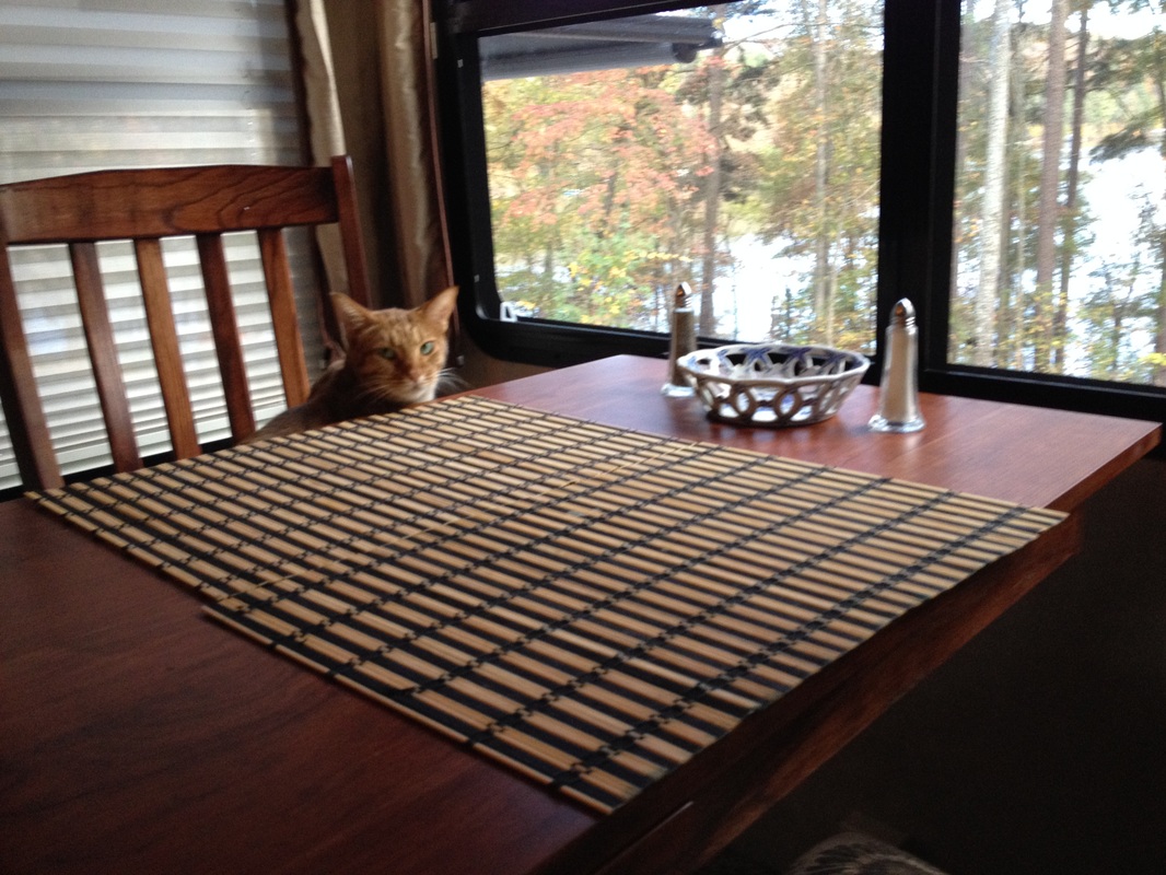 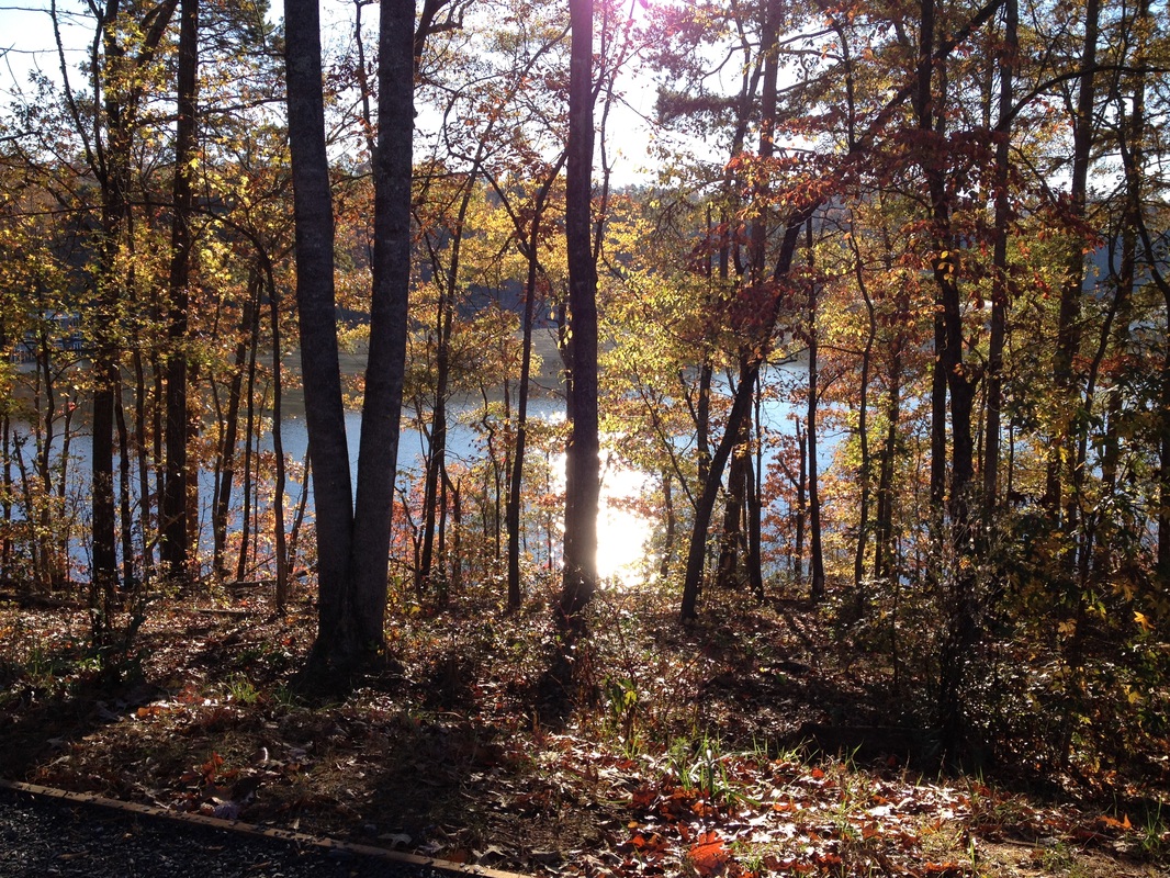 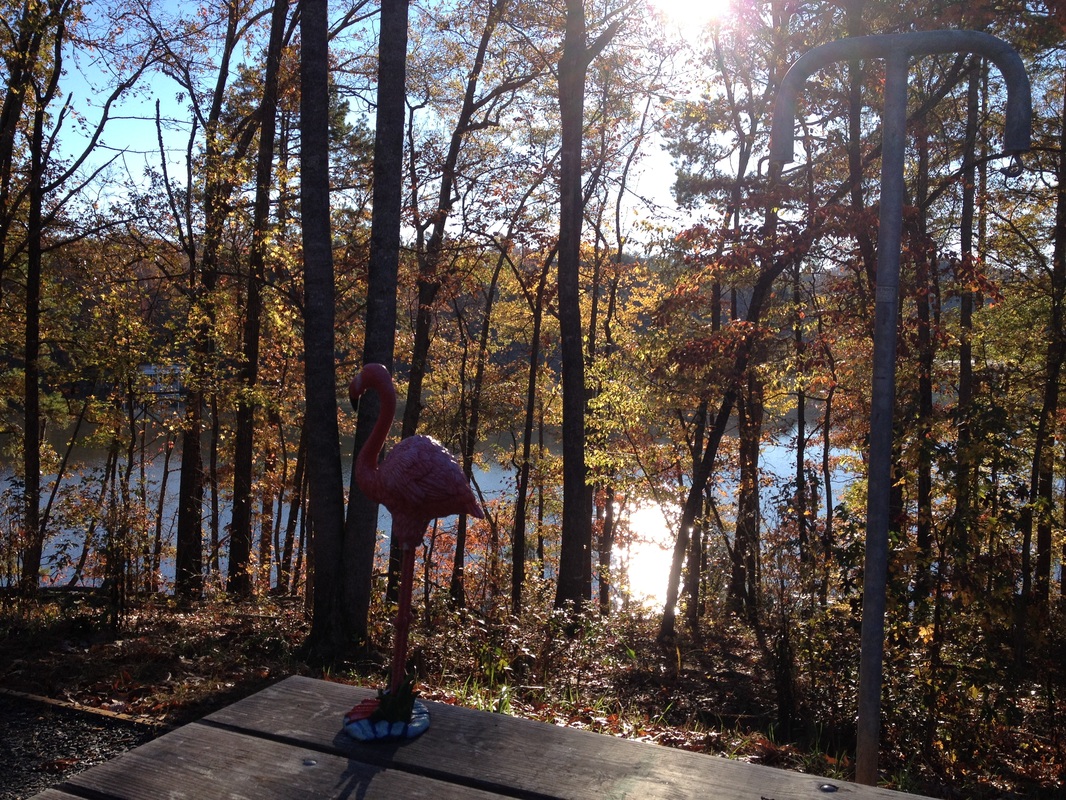  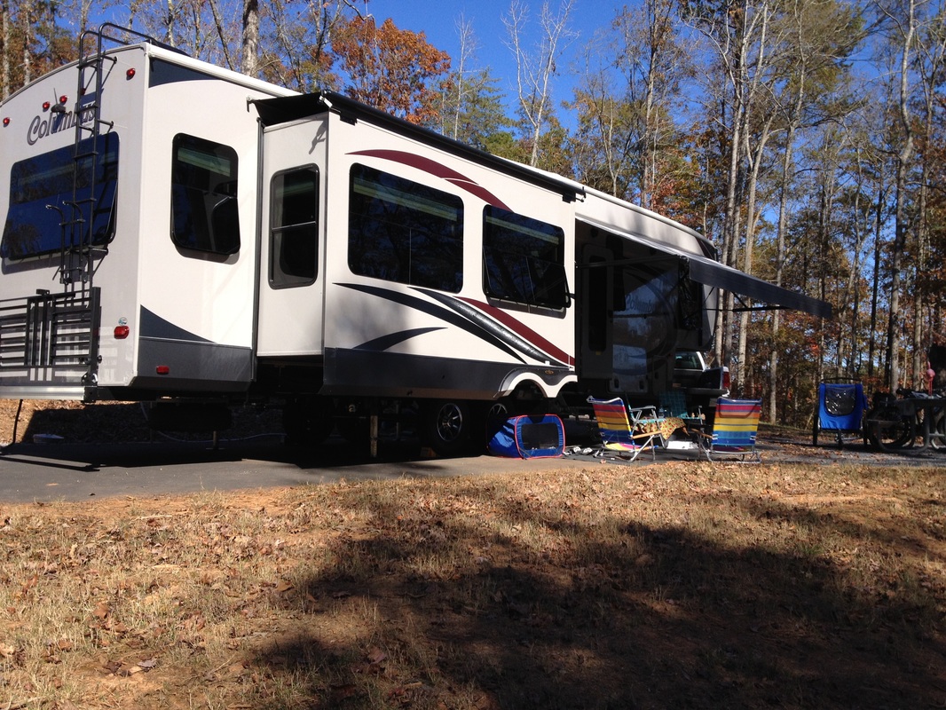 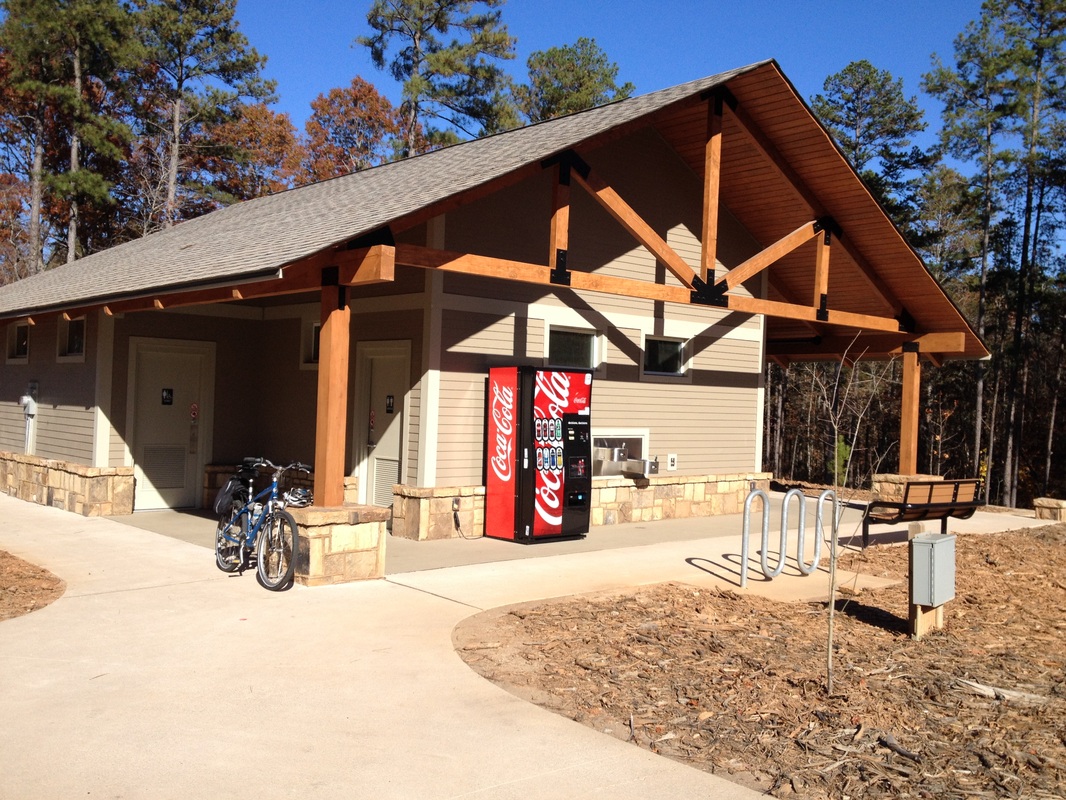  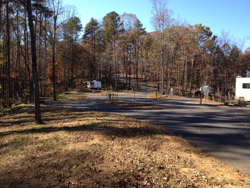 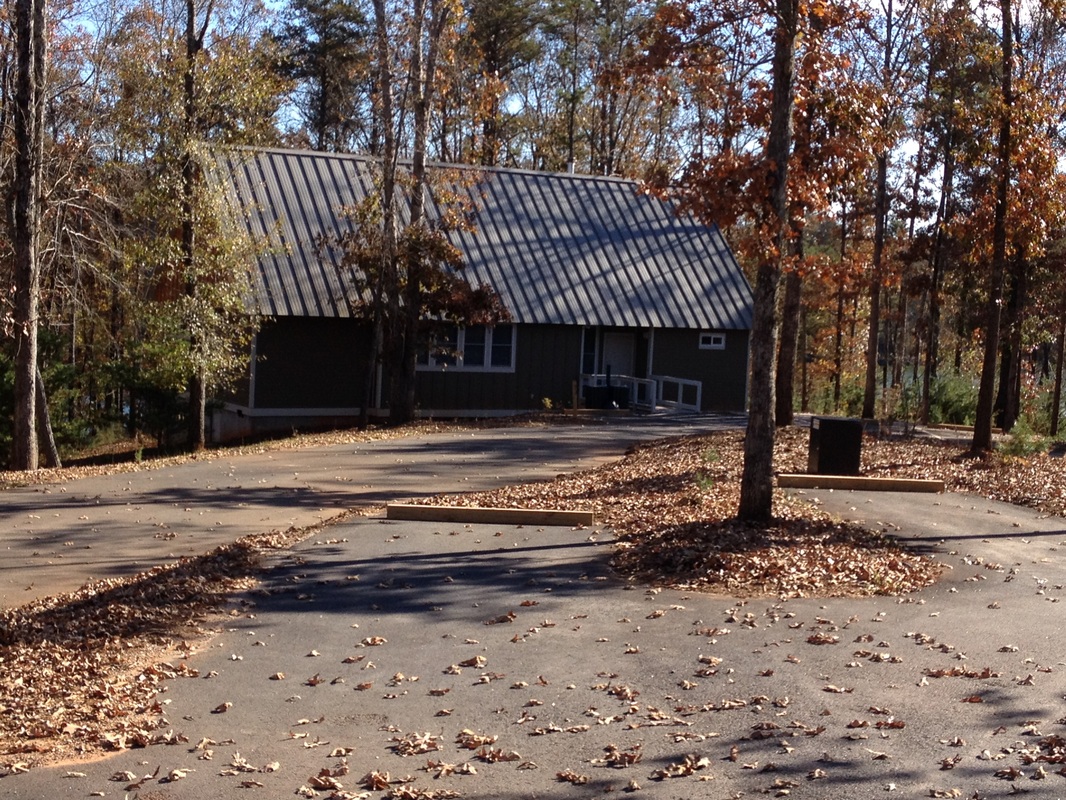 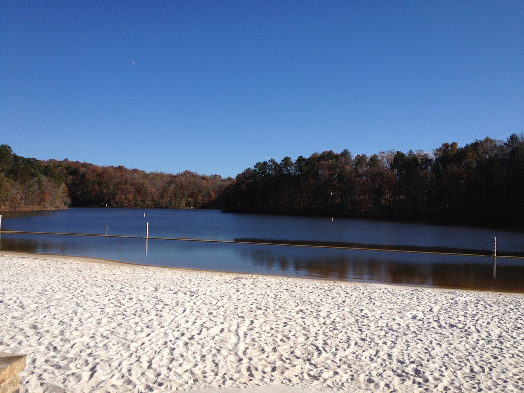 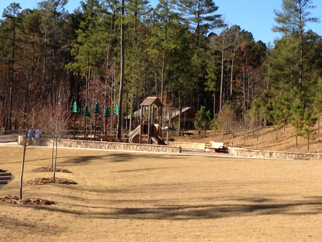 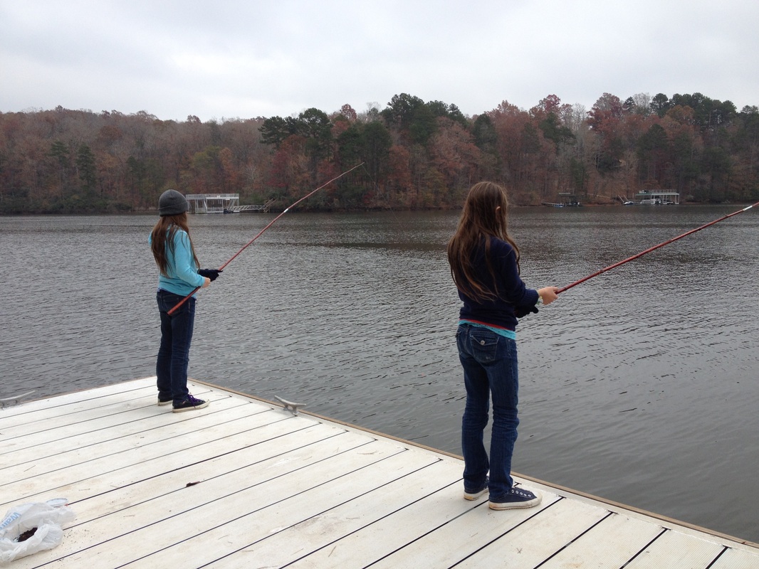 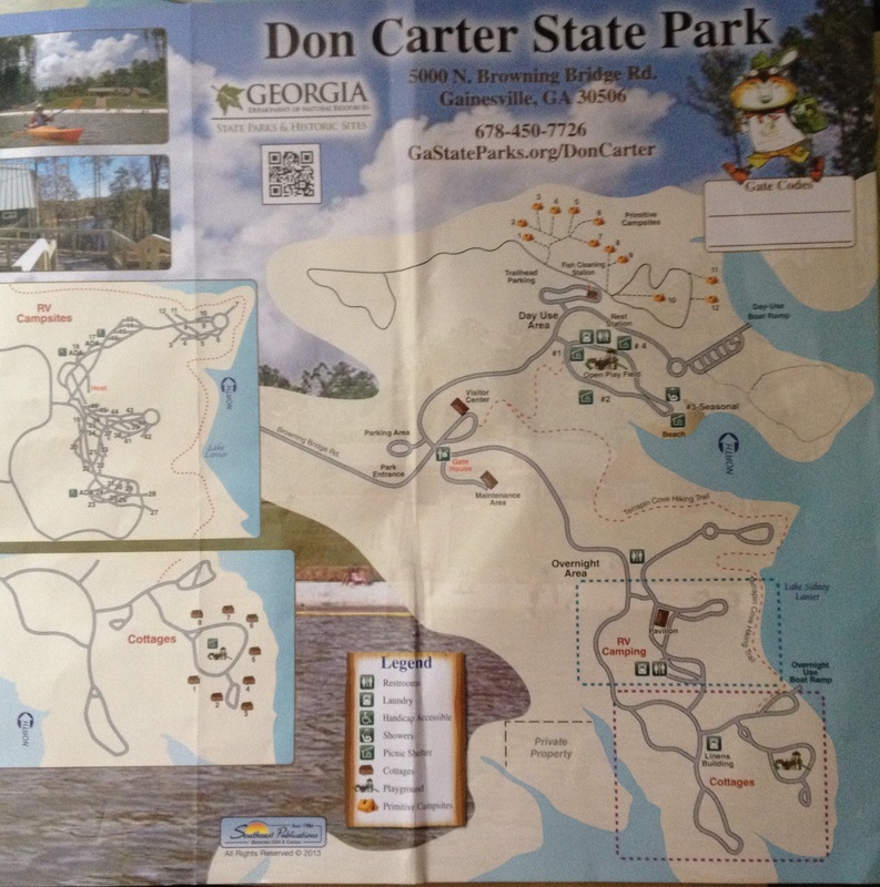 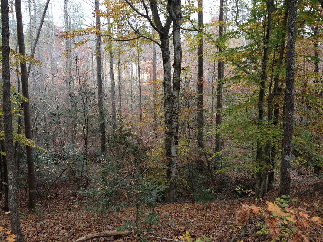 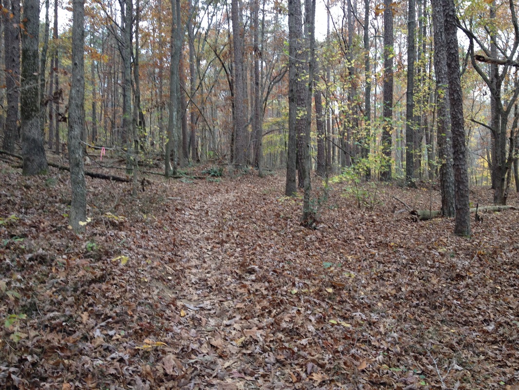 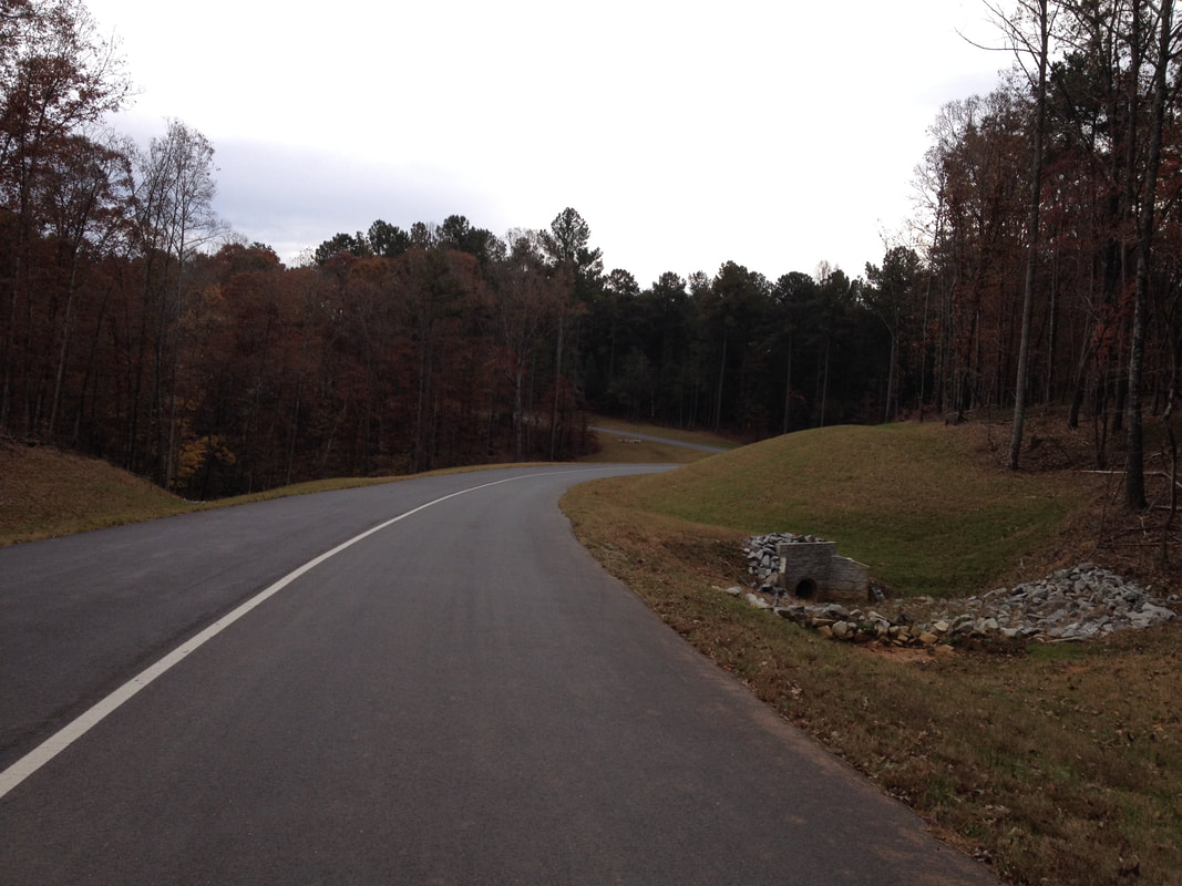 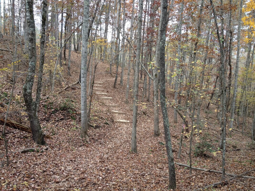  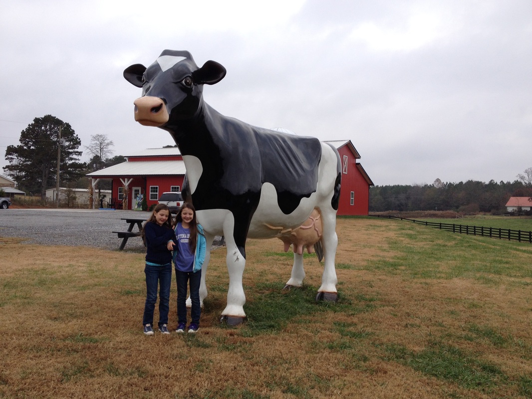 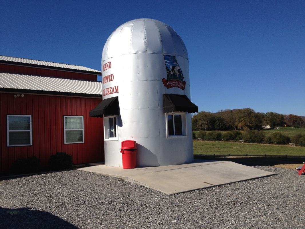 |
HTML Comment Box is loading comments...
