Eastbank COE Campground - Lake Seminole, Bainbridge, GA
|
LOCATION:
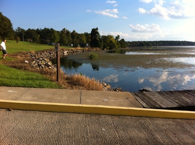
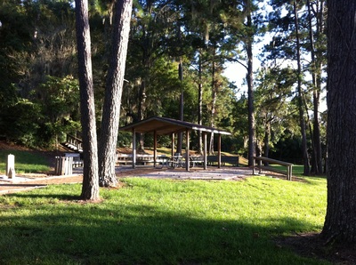
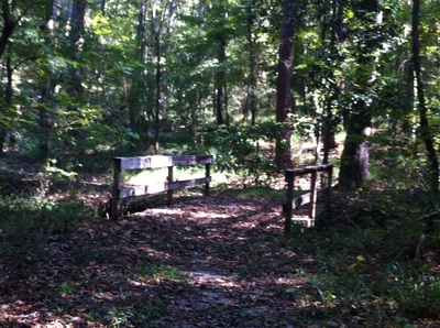
153 E Bank Rd Bainbridge, GA 39819 PHONE: (229) 662-9273 Reserve: 1-877-444-6777 RATES: $22 (will honor America the Beautiful Pass). Reservations can be made for a particular site and they have several un-reservable sites for CHECK IN/OUT: Check in at 4 pm/Check out at 3 pm. ACCESS: 7 am - 10 pm. Open all year. MAPS: At Entry Gate SITES: 65 PULL THRUS: 11 sites WATERFRONT: 19 sites PICNIC SHELTERS: group SITE SURFACE: Paved HOOK-UPS: Water & 30/50 Amp WIFI: No CABLE: No SEWER: No BATH/LAUNDRY: Yes DUMP STATION: Yes SHADE TREES: Yes POOL: No BOAT RAMP: Yes FEATURES: Volleyball, nature trail, horseshoes and great fishing with a fish cleaning station. RANKING: 8 because of the poor cell service (no T-Mobile) and ants PET FRIENDLY: Yes NEARBY ATTRACTIONS Chattahoochee River Landing Florida Caverns State Park Three Rivers State Park |
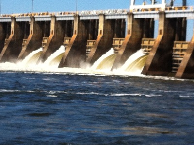
Eastbank Campground at Lake Seminole is an Army Core of Engineer campground located near the Jim Woodruff Dam in Bainbridge Georgia. The closest town is Chattahoochee, FL although it has a Bainbridge, GA address.
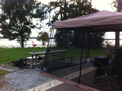
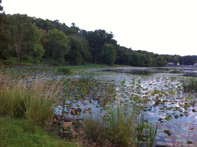
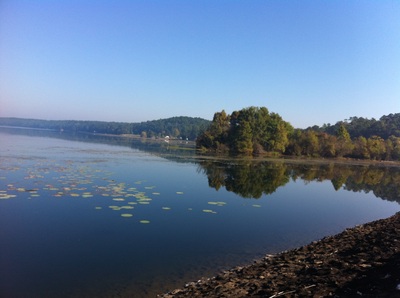
Lake Seminole has a surface area of 37,500 acres with 376 miles of shoreline. It is the result of a project begun by the Army Corps of Engineers (USACE) in 1946 and finished in 1957 and part of the Apalachicola, Chattahoochee, and Flint River systems. It is one of three dams that was constructed for navigation, hydro-power and recreational purposes. A variety of wildlife makes its home around the lake, including raccoons, alligators, ring-necked ducks, hawks, bald eagles, black vultures, tortoises and snakes. This is a great fishing lake and over 79 species of fish have been identified in the lake. The campground operates on Eastern Time but your cell phone may switch to Central Time because the signal is received from the middle of the lake. It's confusing but you can pick the time that suits you best. The lake is beautiful and is about 60 ft from our campsite. We really enjoy sitting and watching the water and wildlife around us. There are quite a few alligators and everyone enjoys watching a particular favorite swim back and forth in the early morning and again at dusk. At least, we think he's the same one each day but who knows for sure. It's October and we couldn't ask for better camping weather. Chattahoochee Florida is just a few miles away and the closest grocery store is in Sneads Florida. The closest Walmart is about 24 miles away in Marianna Florida. Each year there is an Intertribal Native American Pow Wow held at Chattahoochee Landing. It was interesting to hear the tribal stories, listen to the songs and see the tribal dance. DIRECTIONS FROM ATLANTA GA:
232 mi / 3 h 30 min Merge onto I-75 S/I-85 S Take exit 242 for I-85 S toward Domestic Airport/Montgomery Continue onto I-85 S and travel 55.1 mi Take exit 21 for I-185 S toward Columbus and travel 2.9 mi Continue onto GA-411 S/I-185 S and travel 47.8 mi Take the ramp onto GA-1 S/GA-520 E/US-27 S/US-280 E/Victory Dr Continue to follow GA-1 S/GA-520 E/US-27 S/US-280 E for 11.8 mi Turn right onto GA-1 S/US-27 S (Be careful not to take the Ft Benning exit but if you do they are kind enough to help you turn around. Stay to the right where the trucks enter if you make this mistake as we did) Continue to follow US-27 S for 110 mi Take the GA-97/Faceville Hwy exit toward GA-309 and travel 0.2 mi Turn right onto GA-97/Faceville Rd Continue to follow Faceville Rd Entering Florida. Travel 21.6 mi Turn right onto US-90 W and travel 3.5 mi Continue on N Bolivar St to your destination in Decatur County for 1.3 mi Turn right onto N Bolivar St for 0.5 mi Entering Georgia Turn left onto Jim Woodruff Powerhouse Rd 0.5 mi Keep right (GPS will want you to turn left toward the Dam but it takes you to a closed park entrance) Destination will be on the left in 0.3 mi DIRECTIONS FROM TALLAHASSEE FL: Take Exit 166 on Interstate 10, go north on CR 270A. Turn RIGHT on CR 269. Drive 4 miles to Highway 90 in Chattahoochee, FL. Take a left on highway 90 to Bolivar Street (First red light). Turn right, go 1 mile and turn left at East Bank Road. DIRECTIONS FROM PENSACOLA FL: Take Exit 158 on Interstate 10. Turn left. Drive 6 miles to Highway 90 and turn right. Cross over Victory Bridge, turn LEFT at 1st red light. Go 1 mile and turn left at East Bank Road. |
HTML Comment Box is loading comments...
