Thunder Rock Campground, Benton TN
Bear Paw Loop Trail, Old Copper Road Trail and Rhododentron Trail
|
LOCATION:
3171 Hwy 64 Benton TN 37307 PHONE: 423-338-3300 Reserve: 877-444-6777 RATES: $12.00 (will honor America the Beautiful Pass). CHECK IN/OUT: Check out at 12 pm. ACCESS: No gate MAPS: At kiosk SITES: 38 3 are tent only 20 ft limit PULL THRUS: No WATERFRONT: Yes PICNIC SHELTERS: No SITE SURFACE: Gravel HOOK-UPS: Water available throughout the campground No electricity WIFI: No CABLE: No SEWER: No BATH: Yes LAUNDRY: No DUMP STATION: No SHADE TREES: Yes POOL: No BOAT RAMP: No FEATURES: Trails, river RANKING: 8 PET FRIENDLY: Yes TRAIL INFO NAME: Bear Loop Trail LENGTH: 1.9 miles TYPE: Loop NAME: Old Copper Trail LENGTH: 5.6 miles TYPE: In and Out NAME: Rhododentron Trail LENGTH: Short TYPE: In and Out USAGE: Moderate SURFACE: Packed dirt ACCESS: 8 am til sundown FEES: No NEARBY ATTRACTIONS Ocoee Whitewater Center |
Thunder Rock Campground is in the Cherokee National Forest in Eastern TN and runs along the Ocoee River. It is a very popular destination for both whitewater and trail enthusiasts. There is trailhead parking available for the nearby Tanasi trail system, which includes approximately 30 miles of hiking and mountain biking trails.
The campground sits behind the TVA Ocoee Powerhouse Number 3 just 1.8 miles northwest of the Ocoee Whitewater Center. There is a campground host at the entrance next to the main bathhouse. We camped here in June on our Southern Highroads Trail trip and loved being by the water. There are no hook-ups in the campground but no worries with our van. We didn't have a chance to hike all of the trails but did walk the Rhodedendrum Trail by the river. We also visited the center of the 1996 Olympic Canoe/Kayak-Slalom Competition. The 1.9 mile Bear Paw Loop Trail is part of the Tanasi Trail system and begins at the Ocoee Whitewater Center. The loop overlooks the most famous rapids of the Ocoee River. The Old Copper Road Trail is 5.6 miles in and out located near the city of Copperhill. This trail was formerly used to transport copper by wagon from Ducktown to Cleveland Tennessee before the arrival of the railroad from Blue Ridge. The Rhododentron Trail is a short trail that follows the river down stream with sections built on wood walkways above the Ocoee River. DIRECTIONS TO THUNDER ROCK CAMPGROUND:
Located on Highway 64 about 7 miles west of Ducktown, Tennessee. Day use parking is available in the lower lot at the Ocoee Whitewater Center From the Ocoee Ranger Station, turn left onto Highway 64 eastbound and travel 10.9 miles to the TVA Ocoee Powerhouse Number 3. Turn right and cross the bridge to reach the campground on the right. GPS: 35.07611, -84.48556 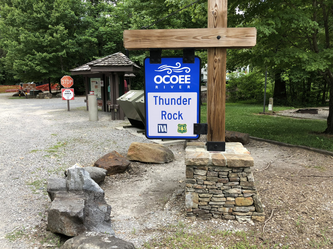 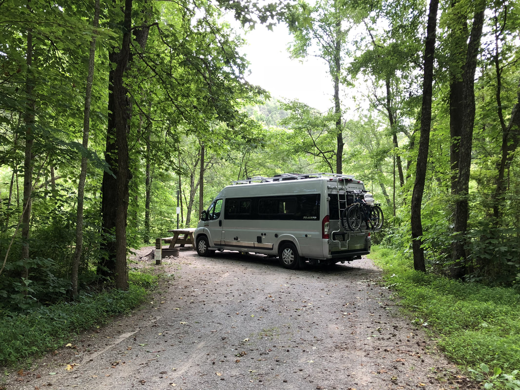 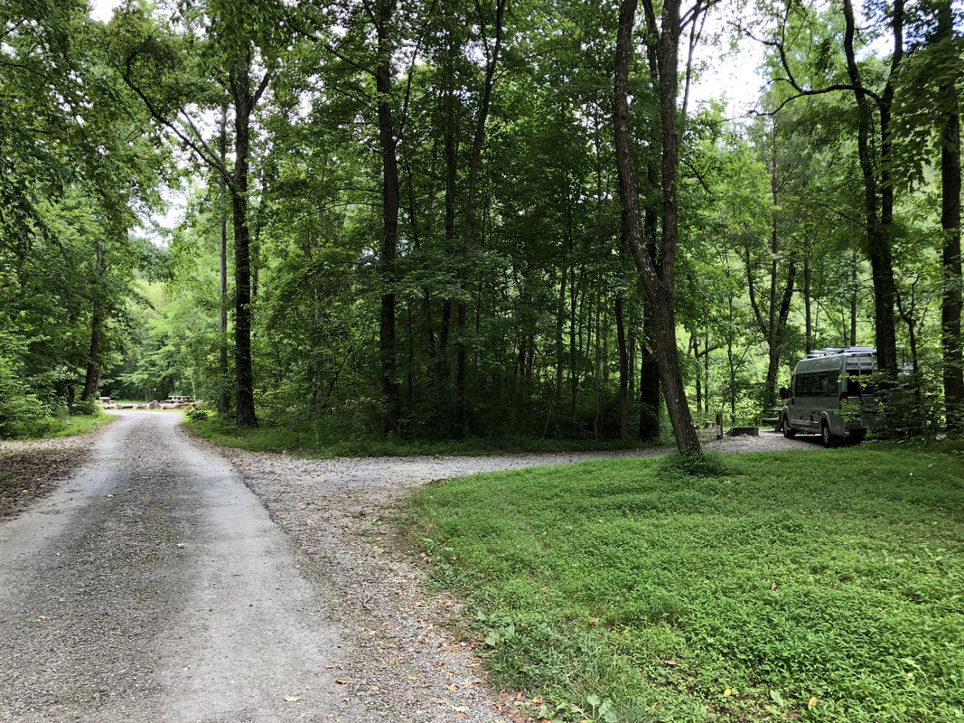 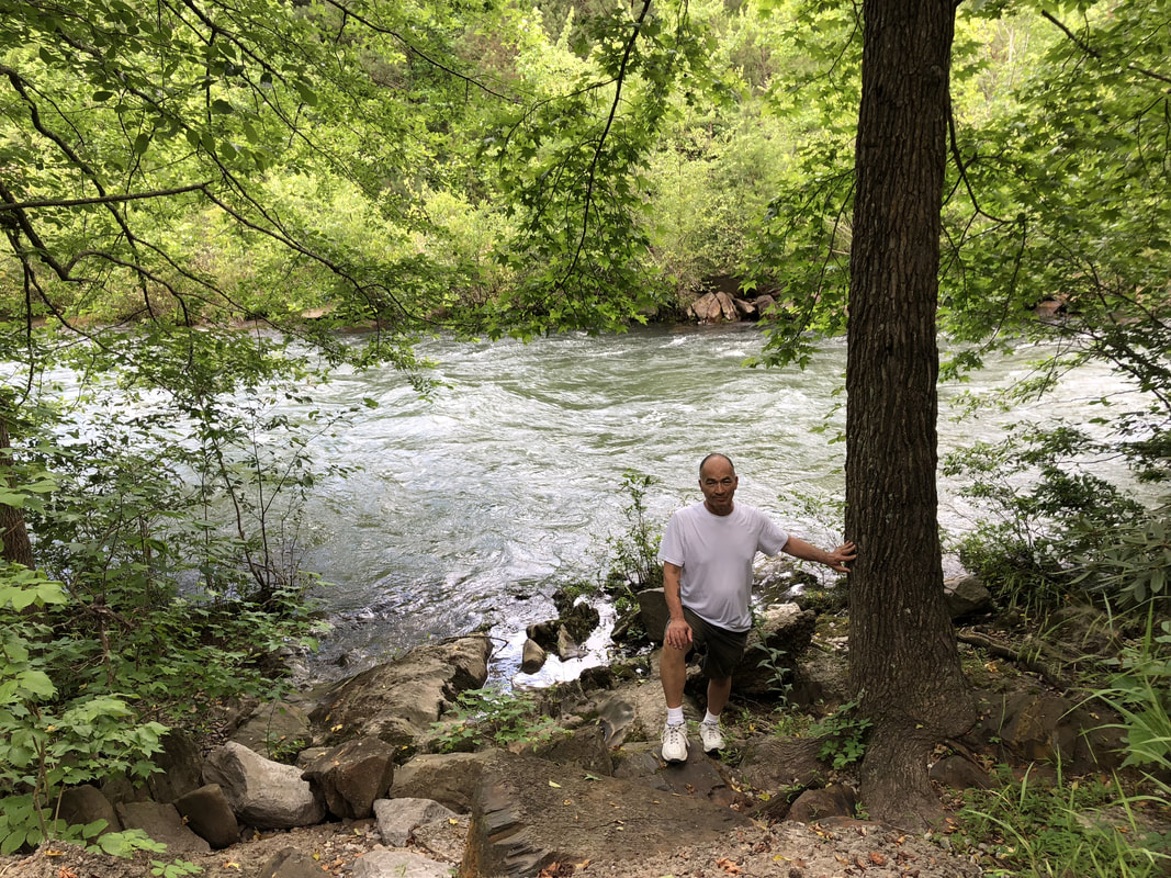    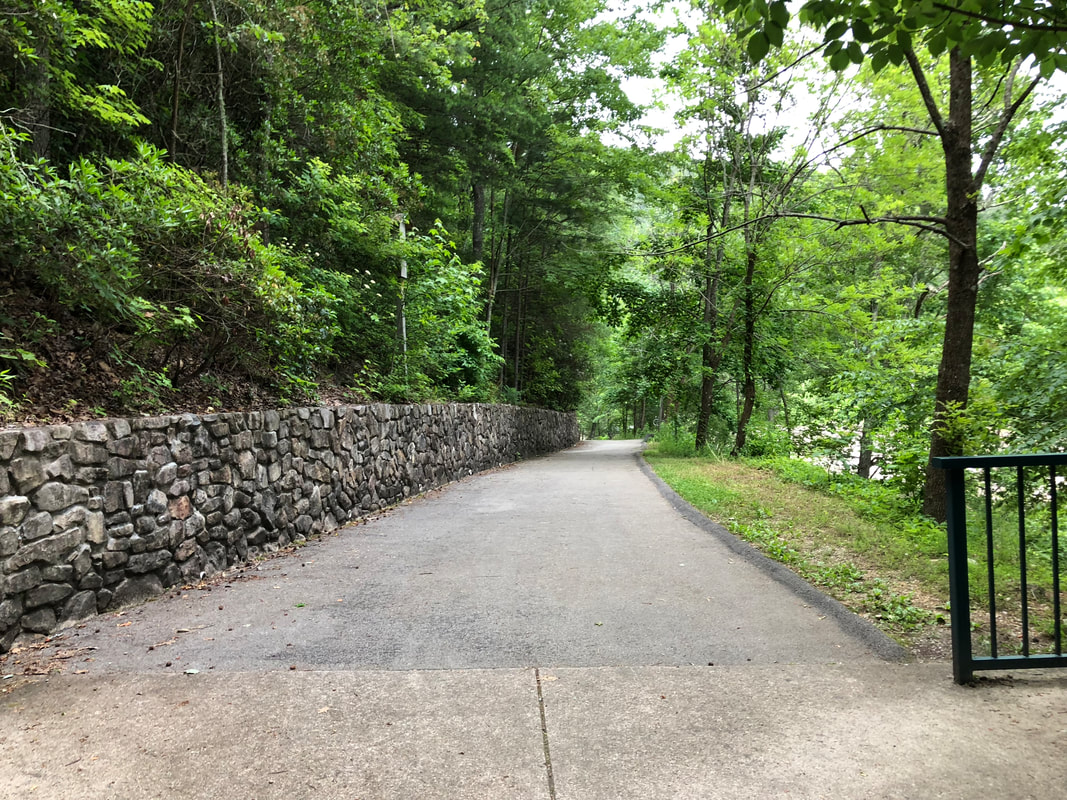 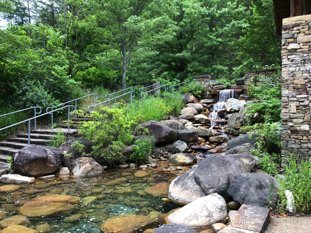 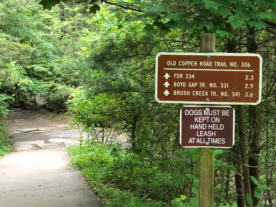   |
HTML Comment Box is loading comments...
